Referência do localEdição em português do BrasilVerificar as informações atuais
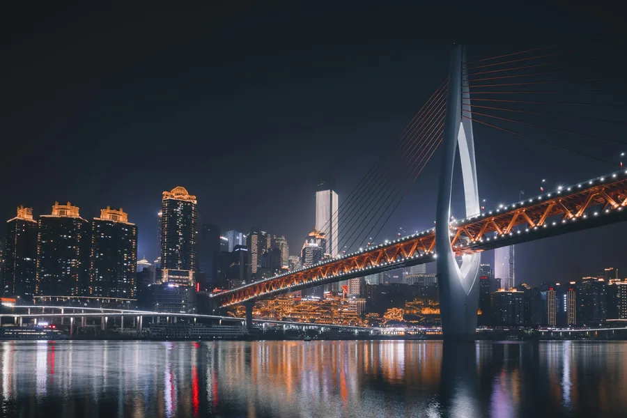
Chongqing Vertical City: Hongya Cave, Liziba & Two Rivers After Dark
Read Chongqing by elevation rather than map distance, linking its rail, cliff-edge streets, river crossings and night skyline without repeating the same climb. Confirm current ticket, entrance and transport details shortly before travel.
RESUMO GRATUITO DO DESTINO
Decida se esta rota combina com a sua viagem.
重庆山城 / 洪崖洞 / 李子坝
- REGION
- CHONGQING
- TEMPO NECESSÁRIO
- 1 A 2 DIAS
- FORMATO DO GUIA COMPLETO
- Rota, entrada e saída
A decisão de rota mais importante
Read Chongqing by elevation rather than map distance, linking its rail, cliff-edge streets, river crossings and night skyline without repeating the same climb.
- Guarde o nome chinês acima junto com a reserva e o ponto no mapa.
- Budget 1 to 2 days; transport, timed entry and the final exit can change the real duration.
- Pouco antes da viagem, confirme a entrada, os fechamentos e o trajeto de volta.
ÍNDICE COMPLETO DO GUIA
Veja todas as perguntas respondidas pelo guia completo.
O índice é público. Os traslados exatos, a lógica de entrada, a sequência da rota, as soluções para falhas e o plano B permanecem protegidos.
- 01Seguir o dia nesta ordem
- 02Why Chongqing feels different
- 03Who this guide is for
- 04Duração e estação ideais
- 05Reservas, documentos e riscos variáveis
- 06Nomes de locais para copiar
- 07Getting there and choosing a base
- 08From Chongqing Jiangbei International Airport
- 09A partir das estações ferroviárias
- 10The vertical-navigation rules
GUIA COMPLETO DO DESTINO
Unlock the route you can actually follow.
O guia completo acrescenta o esquema da rota, as opções exatas de transporte e entrada, a sequência da visita, as verificações de reserva, os problemas comuns e um plano B prático.
- Esquema completo da rota e ordem dos traslados
- Instruções de entrada, saída e transporte
- Itinerário e decisões de tempo passo a passo
- Verificações de reserva, bilhete e passaporte
- Alternativas para fechamento, clima ou falha no traslado
UM ÚNICO PASSE DE ACESSOTodos os guias completos de destinos e tarefas práticasCard payment is handled by Stripe Checkout. Visa, Mastercard and any other available cards are shown there. The access PDF is sent to the checkout email.
Desbloquear o guia completo do destinoJá tem um código?