Place reference日本語版最新情報を確認
Chongqing Vertical City: Hongya Cave, Liziba & Two Rivers After Dark
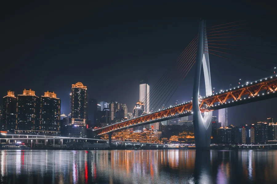
Read Chongqing by elevation rather than map distance, linking its rail, cliff-edge streets, river crossings and night skyline without repeating the same climb. Confirm current ticket, entrance and transport details shortly before travel.
無料の目的地概要
このルートがあなたの旅行に合うかどうかを判断してください。
重庆山城 / 洪崖洞 / 李子坝
- REGION
- CHONGQING
- 所要時間
- 1~2日間
- 完全版ガイドの形式
- ルート、入口、出口
The route decision that matters most
Read Chongqing by elevation rather than map distance, linking its rail, cliff-edge streets, river crossings and night skyline without repeating the same climb.
- Keep the Chinese name above with your booking and map pin.
- Budget 1 to 2 days; transport, timed entry and the final exit can change the real duration.
- 出発直前に、最新の入場条件、休館・運休情報、帰りの移動手段を確認してください。
完全版ガイドの概要
完全版ガイドで解決できる疑問を確認する。
概要は無料で公開しています。正確な乗り継ぎ、入口の選び方、ルートの順序、トラブル時の分岐、プランBは有料版に収録しています。
- 01Follow the day in this order
- 02Why Chongqing feels different
- 03このガイドの対象者
- 04Best duration and season
- 05Reservations, documents and dynamic risks
- 06Copyable place names
- 07Getting there and choosing a base
- 08From Chongqing Jiangbei International Airport
- 09From the railway stations
- 10The vertical-navigation rules
完全な目的地ガイド
実際にたどれるルートの全文をロック解除。
完全なガイドには、ルートの概略図、正確な交通手段と入り口の選択肢、訪問順序、予約チェック、よくある失敗ポイント、および使用可能なプラン B が追加されています。
- ルート全体図と乗り継ぎ順序
- 入口、出口、交通案内
- 段階別の旅程と時間配分
- Reservation, ticket and passport checks
- 運休・天候・乗り継ぎ失敗時の代替策
1つのアクセスパスすべての目的地ガイドと実用ガイドの完全版カード決済はStripe Checkoutで処理されます。利用できるVisa、Mastercard、その他のカードはその画面に表示されます。アクセス用PDFは、チェックアウト時に入力したメールアドレスへ送信されます。
完全版の目的地ガイドをアンロックすでにコードをお持ちですか?