Place referenceEnglish editionVerify live details
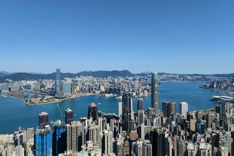
Hong Kong from Peak to Pier: A Skyline Route for Real Weather
Link the historic funicular, an easy contour walk, an ordinary cross-harbour ferry and the opposite promenade without betting on one sunset. Confirm current ticket, entrance and transport details shortly before travel.
FREE DESTINATION BRIEF
Decide whether this route fits your trip.
太平山顶 / 维多利亚港
- REGION
- HONG KONG
- TIME NEEDED
- HALF OR FULL DAY
- FULL GUIDE FORMAT
- Route, entrance & exit
The route decision that matters most
Link the historic funicular, an easy contour walk, an ordinary cross-harbour ferry and the opposite promenade without betting on one sunset.
- Keep the Chinese name above with your booking and map pin.
- Budget half or full day; transport, timed entry and the final exit can change the real duration.
- Verify live admission, closures and the return journey shortly before travel.
COMPLETE GUIDE OUTLINE
See every question the full guide answers.
The outline is public. Exact transfers, entrance logic, route sequence, failure branches and Plan B remain protected.
- 01Follow the day in this order
- 02Why this route works
- 03Who this guide is for
- 04Best duration and season
- 05Reservations, tickets and dynamic risks
- 06Copyable place names
- 07Getting to Hong Kong and choosing a base
- 08From the airport
- 09By rail
- 10Where to stay
FULL DESTINATION GUIDE
Unlock the route you can actually follow.
The complete guide adds the route schematic, exact transport and entrance choices, the visit sequence, booking checks, common failure points and a usable Plan B.
- Complete route schematic and transfer order
- Entrance, exit and transport instructions
- Step-by-step itinerary and time decisions
- Reservation, ticket and passport checks
- Closure, weather and failed-transfer alternatives
ONE ACCESS PASSEvery complete destination and task guideCard payment is handled by Stripe Checkout. Visa, Mastercard and any other available cards are shown there. The access PDF is sent to the checkout email.
Unlock the complete destination guideAlready have a code?